Starts: March 23 - 6 pm EDT
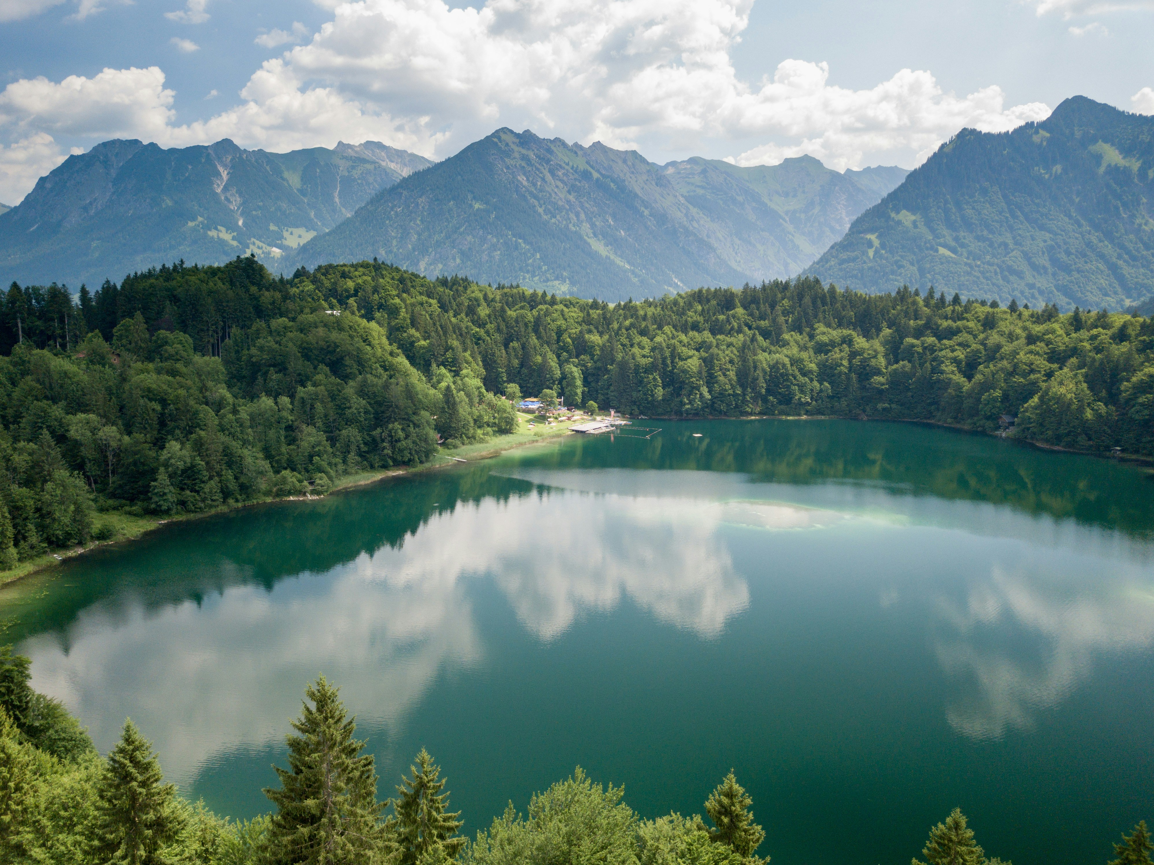
Satellite altimetry technology has enabled new ways of monitoring water levels; however, individual satellite observation typically is limited in temporal coverage and hence is not sufficient for supporting freshwater resources management. Our Working Group will focus on applying ML technologies to integrate multi-satellite altimetry data to improve the temporal resolution of lake water level monitoring.
This engagement requires prior experience in Python, scikit-learn, SciPy, and Numpy. This project also requires knowledge of mathematics and probability theory. However, no expertise in satellite altimetry principles and data processing is necessary.
❗Meetings weekly at 6 pm, Wednesday ET
❗Meeting joining link: https://meet.jit.si/Zhaoqin-MLforwaterlevel-group
Project Overview
- Practice structuring big datasets for ML projects
- Train different types of neural networks to obtain the Kalman gain (a parameter used to update the model) of the state-space model (I’ll set up the model) to integrate water levels derived from multi-satellite altimeters
- Evaluate model performance against with in-situ water level gauge measurements and test model robustness on other lakes of different areas, shapes, and topographic relief in Canada
- Minimal goal: Develop a neural network approach that can obtain the Kalman gain of the state-space model for diverse lakes
- Stretch goal: Investigate the effects of sample size on deriving Kalman gain. For example, can a larger lake with more satellite water level measurements get a more reliable Kalman gain than those smaller lakes with fewer measurements? Summarize your hypothesis, objectives, data, method(s), and findings in a short article.
Leads / Advisors

Dr. Zhaoqin Li | Lead
Postdoc Researcher, Natural Resources Canada

Dr. Karen Smith | Advisor
Assistant Professor, U of Toronto

Dr. Andre Erler | Advisor
Senior Climate Scientist Aquanty
Tentative Timeline
Major Milestones | Expected time to finish | |
1 | Get familiar with the project domain | 2 weeks |
2 | Data cleaning & structuring | 1 week |
3 | Train a DNN model | 2 weeks |
4 | Model performance & robustness evaluation | 2 weeks |
5 | Wrap up the project | 1 week |
Our Journey - ML for Freshwater Management
Why join?
Aggregate Intellect hosts one of the most diverse ML communities in the world. Over the course of the working group
- You’ll get an immersion into that community & walk out with some cool new friends.
- The first three participants / teams to reach the minimal goal will receive a $500 gift each. The remaining participants reaching the minimal goal will have ~$1000 divided amongst them. (A nice little push to encourage you to learn 😉)
- Advance your ML skills through learning how to integrate multi-source data with different uncertainties in Python.
- Advance your ML skills in remote sensing for the water resources management domain.
- Contribute to lake water level monitoring which is fundamental for our precious freshwater resources management and hydrological research, in particular in the context of climate change and intensified anthropogenic activities .
The button below will take you to our coordination Slack channel. Just jump in, introduce yourself, and say you wanna join! We’ll try to help bring you up to speed.
